The Mason-Dixon Line
Illustration by Harry Dierken
The Mason-Dixon Line may well be America's most famous boundary, but few Americans understand exactly what it divides. Since the early nineteenth century, the name Mason-Dixon has represented an imaginary border between the North and South; before the Civil War, it was thought to divide all free states from slave states. In fact, however, the Mason-Dixon Line was never more than the border between Maryland and Pennsylvania.
 In 1632 Maryland had been granted "that part of the Bay of Delaware which lieth under the Fortieth Degree of North Latitude." Unfortunately, the fortieth parallel ran through the middle of Philadelphia; if upheld, the Maryland charter would deprive Philadelphia of her only harbor. The two colonies argued the case in English courts for decades. By 1750 the boundary had been officially located on paper, but someone still had to find it in the woods.
A survey team hired by Thomas Penn in 1761 spent several months trying to locate the border, but failed after letting a survey telescope warp in the rain. Penn was disgusted to find no Americans capable of the project and sent to England for some proper surveyors. He found Charles Mason and Jeremiah Dixon. These two men had traveled around the world studying astronomy and had mastered celestial navigation's complex mathematics. Both Maryland and Pennsylvania agreed to abide by the surveyors' results, and in 1763 Mason and Dixon began to work.
The first step was to locate the exact starting point, 15 miles due south of Philadelphia. It was found in the middle of Mr. Alexander Bryan's plantation house, and an observation post was built in his front yard. From there the survey moved west following the line of latitude 39 degrees, 43 minutes and 17.6 seconds North. A wide swath was cleared by axemen, and limestone markers brough from England were placed each mile to mark the way. Every 11 1/2 miles the scientists would line up these posts through their telescopes and make elaborate measurements of star movement to compensate for error. All distances were measured with a 66 foot surveyor's chain.
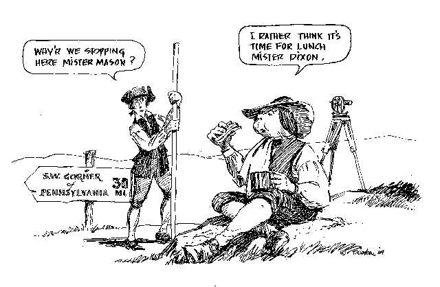
In 1766 Indian resistance forced the work to halt for a year, but negotiations allowed the surveyors to continue until, 30 miles east of Pennsylvania's present southwest corner, they were ordered to stop for good - 233 miles, 3 chains and 38 links from the starting post in Mr. Bryan's yard.
Today more of the old stone markers are found in doorsteps than along the boundary, but the Mason-Dixon Line still exists. It was resurveyed in 1849 and 1902 and found to be remarkably accurate; with minor adjustments, it still serves as the Maryland-Pennsylvania border, while the Mason-Dixon Line of the popular imagination fades into the past.
(source: D. MacDonald, the 1984 Old Farmer's Almanac)
